0verview
The Uchi Gold Project (which includes the Woco Gold Prospect) is located west of Uchi Lake at the south end of a series of historical gold mines (Uchi Mine) on a north-south trend.
These zones are near the historic Uchi Lake Gold Mine (which lies 1km E of Raingold and 1.5 km NE of Woco) This mine had 2 shafts that produced 114,467 oz Au and 14,435 oz Ag between 1939 and 1943, Shaft No. 1 had 4 levels over 622 ft of depth and Shaft No. 2 had 6 levels over 1176 ft.
- High-grade gold mineralization was discovered at the Woco Prospect in 1993 by St. Jude Resources Ltd. Two drill programs identified a mineralized quartz vein extending over a distance of 100 m along strike and 150 m depth.
- The high-grade core plunges north at -60o and is cut-off at the south end by a late E-W fault. The offset continuation has not been discovered.
- Gold mineralization occurs as fine specks of gold disseminate in the quartz and closely associated with hairline fractures in the quartz;
- The Woco Vein is located in a high strain zone that occurs at the contact between a competent felsic metavolcanics (dacite) and pillowed mafic metavolcanics (basalt).
- The Woco Vein and structure trend northerly and dip steeply west occurring 300 m west of the Uchi Break, a regional N-S structure hosting a series of past gold producers (Uchi Gold Mine).
- Shearing and alteration extends 1-2 m from the vein contact; felsic metavolcanic (dacite) are sheared and strongly sericitized and mafic metavolcanics (basalt) are sheared and carbonatized.
The Uchi Project includes FOUR KEY AREAS: Woco, Woco South, Northgate and Raingold:

Location
The Woco Gold Prospect is located west of Uchi Lake at the south end of a series of historical gold mines (Uchi Mine) on a north-south trend. The Woco prospect is east of the NE trending Uchi Lake Deformation Zone that straddles Uchi Lake. An old power line goes into the historic Uchi Mine area to the north of the Woco Property. Access is by float plane to Uchi Lake from Red Lake or Earl Falls and then a kilometer cross-country. The property is also accessible from the South Bay Mine road and then east along winter road that follows an Ontario Hydro power line to the Uchi Gold Mine from which the Woco Prospect can be accessed on foot about 1.5 km to the south
") Click to ZOOM image
Click to ZOOM imageProject History
In 2018, at the WocoZone in the Uchi Gold Project, Argo Gold staked 839 additional hectares to the west-southwest. An airborne aeromagnetic and electromagnetic geophysical survey covering the project area shows the structure associated with the gold mineralization – at both the Woco and Northgate areas of the Uchi Lake Gold Project – extends to the southwest.
In 2021, Argo Gold has completed a 17 hole, 2670 metre drill program at the Uchi Lake Gold Project. The exploration targets to be the narrow vein, high-grade gold mineralization; a common economic model in the Canadian Shield where a series of high-grade gold veins are mined using narrow vein mining methods. The 2021 drill program was testing additional new targets (75%) and expand known gold mineralization (25%).
The 2021 exploration program extended the strike length of the mineralized zones at Woco to 400 metres, at Northgate to 500 metres, and at Raingold a new zone of mineralization was identified 100 metres east of Raingold. At Raingold, channel sample results are pending from the south extension zone stripped for 280 metres along a shear zone with abundant sulphides. Exploration drilling to date at the Uchi Gold Project has tested mineralization at a depths of 60 to 120 metres with the exception of Woco drill hole AGU-19-007 to a peth of 200 metres that intersected 7.4 g/t Au over 0.5 metre.
April 16, 2026 – Argo Gold Inc. recently received its mineral exploration permit for the Uchi Gold Project located 90 kilometres east of Red Lake, Ontario.
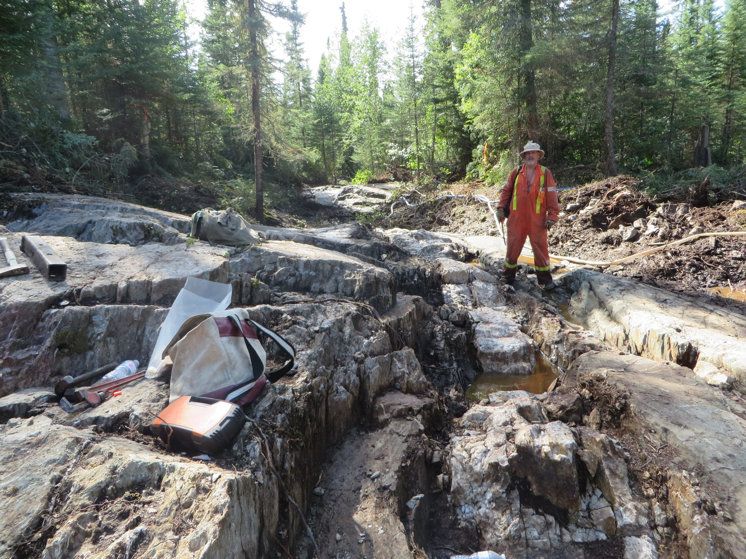
Uchi Gold Project-Woco South
After excavator stripping and washing
Geology, Structure and Mineralization
The Woco Property is underlain by north trending mafic metavolcanic flows of the BirchUchi Greenstone Belt which forms part of the Uchi Geological Province. The west part of the property includes massive to foliated mafic flows and coarse-grained mafic intrusive rocks. The central part of the property includes pillowed mafic flows and the east part of the property is underlain by felsic to intermediate pyroclastic rocks.
Regional structures tend to strike parallel to the stratigraphy (north-south). East-west trending transverse faults are common. The Uchi Break is a north-south trending structure which hosts the Uchi Gold Mine located 1.5 km north of the Woco Prospect. The Uchi Break strikes through the Woco Property about 300 metres east of the Woco Prospect.
The Woco vein gold prospect is located at a well identified Precambrian stratigraphic horizon which consists of a narrow dacitic lava flow on the west side and a basalt pillowed lava on the east side. The pillowed lava which is relatively incompetent compared to dacite, was sheared at its contact with dacite, whereas the more competent dacite was fractured. The Woco quartz vein was emplaced along this sheared contact zone.
Uchi Break Exploration
The Uchi Break is located 230 metres west of the Woco mineralized trend. Drill hole AGU-21-019 tested a gold biogeochemical anomaly located on the Uchi Break and intersected 0.45 g/t Au over 1.4 metres in massive and semi-massive sulphides that were intersected at 75.1-75.8 metres and 76.9-80.4 metres. This drill hole is 190 metres south of AGU-19-009 that intersected 0.35 g/t Au over 3.6 metres in similar massive and semi-massive sulphides of pyrite and pyrrhotite.
Woco-Northgate Corridor
Three drill holes tested the structural corridor between the high-grade Woco Vein and the high-grade Northgate zone that also had a biogeochemical anomaly. Both AGU-21-22 and AGU-21-23 identified quartz veins and quartz/carbonate veinlets with disseminated sulphides near the end of the drill holes along the strike extension of the lithostructural trend that hosts the Woco and Northgate Zones. In addition, drill holes AGU-21-22 and AGU-21-32 intersected multiple zones of sulphide-bearing rocks with anomalous gold assays. The sulphide mineralization consists of abundant pyrite and pyrrhotite with minor chalcopyrite, sphalerite and galena.
Uchi Gold Project-Woco South
Crew washing rock surface after excavator stripping
QA/QC

Samples were geologically logged, the information was captured digitally, and sample locations were marked directly in the core box. Cutting was done on site by Argo personnel and securely bagged. Samples were subsequently transported by Argo Gold personnel to Dryden to Activation Laboratories Ltd. (ActLabs) which is ISO 17025 accredited. A rigorous program of inserted duplicates, blanks and standards was instituted. The laboratory batch size was 35 samples, so Argo Gold ensured that blanks, duplicates and inserted OREAS control standards (three separate standards representing low, medium and high-grade values) were inserted every twenty samples. These results have been scrutinized and values were well within high tolerances. Every sample was analyzed for Fire Assay Gold with either an AA (Atomic Absorption) or gravimetric finish. Where values were over 5,000 ppb, the sample was then re-assayed by Fire Assay with a gravimetric finish.
At ActLabs, the samples were sorted and dried in a 60C oven. Each sample was then crushed up to 90% passing 10 mesh, riffle split, and a 250g sample was pulverized to 95% passing 150 mesh. The pulverized samples were analyzed for gold using a Fire Assay with an AA, (or gravimetric as noted above) finish. ActLabs also has their internal system of inserted blanks, duplicated and inserted control standards which they used to ensure quality of the results.
William Kerr, P.Geo., consulting geologist of Argo Gold, is the Qualified Person, as defined by National Instrument 43-101, who has approved the scientific and technical disclosure in this news release.
2021
In 2021, Argo Gold initiated bedrock stripping, trenching, washing, geological mapping and channel sampling at the Uchi Lake Gold Project in April 2021 and will continue in phases throughout the 2021 field season. Objectives of the bedrock stripping and trenching are to expand and define known gold mineralization, identify additional gold mineralization along the mineralized trends, and to follow-up on the numerous biogeochemical anomalies identified by the Summer 2019 biogeochemical survey that covered 5 kilometres of strike length on the main mineralized trend. (Argo Gold news release October 28, 2019).
Completion of LiDAR and Aerial Photography at Uchi Lake

In 2021, Argo has also completed a LiDAR and Aerial Photography at Argo Gold’s Uchi Lake Project in the Red Lake District. The data collection by Eagle Mapping covered 23.2 square kilometers consisting of 10 strips with > 50% overlap totalling 65-line kilometers. The data provided by the survey are being used to enhance the base map and assist with planning, access and execution of bedrock stripping, trenching, washing, channel sampling, geological mapping, and drilling. The data is also useful in identifying geophysical structures under canopy allowing for visualization of resistant or recessive lithologies, faults, and veins.